Welcome to Simonds Machinery Co.
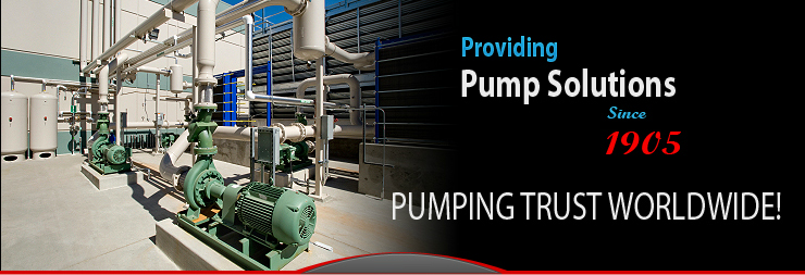
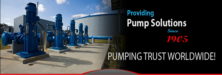
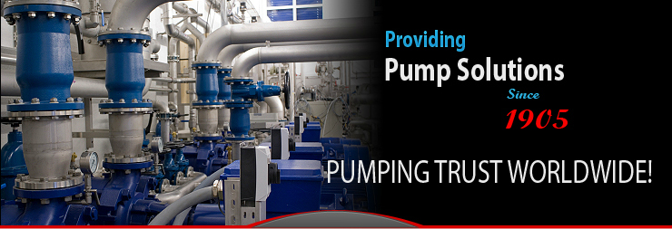
At Simonds Machinery, we have been supplying industrial pumps for over a century. We know pumps inside and out. We can provide you with the right pump stations for your application, whether it’s a standard pump or a custom solution. It’s pretty simple, we just do what we say we’re going to do. Because we enjoy a satisfied customer as much as we enjoy providing you with the right pump solution. It’s the “Simonds Way”.
Quality. Reliability. Accountability. These are the words that represent the philosophy of the Simonds Pump Company team.
Call us today at 1-800-750-4830. We will meet your expectations each and every time. |